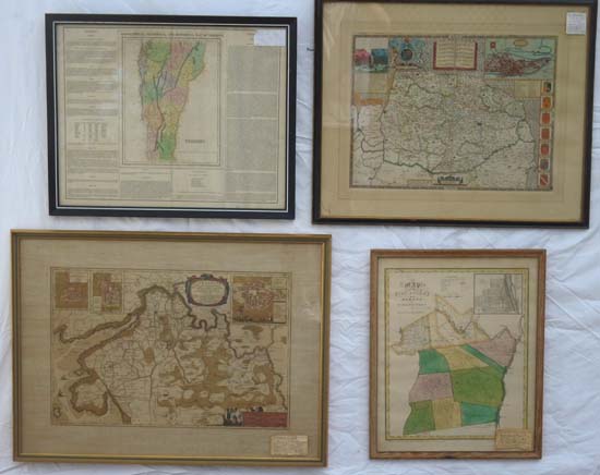
50+ ANTIQUE MAPS (all 19thC or earlier) Photo’d are: crisply hand colored 1614-1630 map of “Norfolk” England by John Speed. 1822 hand colored “Geographical, Statistical, and Historical Map of Vermont” by H. C. Carey and I. Lea. C.1650 hand colored “Dithmarsia” (Province of Denmark) by Johannes Mejery. 1829 hand colored “Map of the Counties of Albany and Schenectady” by David Burr.